When you need a competitive advantage in your design office, you need the best design tools for the job. When it comes to civil and structural design, there are no better design tools than Daystar Software.
Products
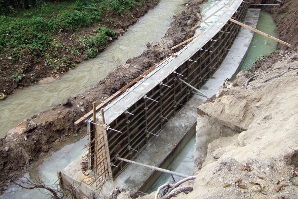
Design concrete and/or masonry retaining walls quickly and accurately. Walls can be tapered or straight, cantilevered or restrained and can consist of both concrete and masonry.
Download a free fully working trial and see how easy and powerful our software can be.

Design retaining walls, masonry columns and more with our cloud based structural engineering software.
Nothing to download or install. Log into the site with any browser and start to work.
The links below will take you to the Daystar iStructural.com web site to find out more.